Decisions before code
We start with the uncertainty worth reducing: who decides, what is at stake, and what changes after the answer.

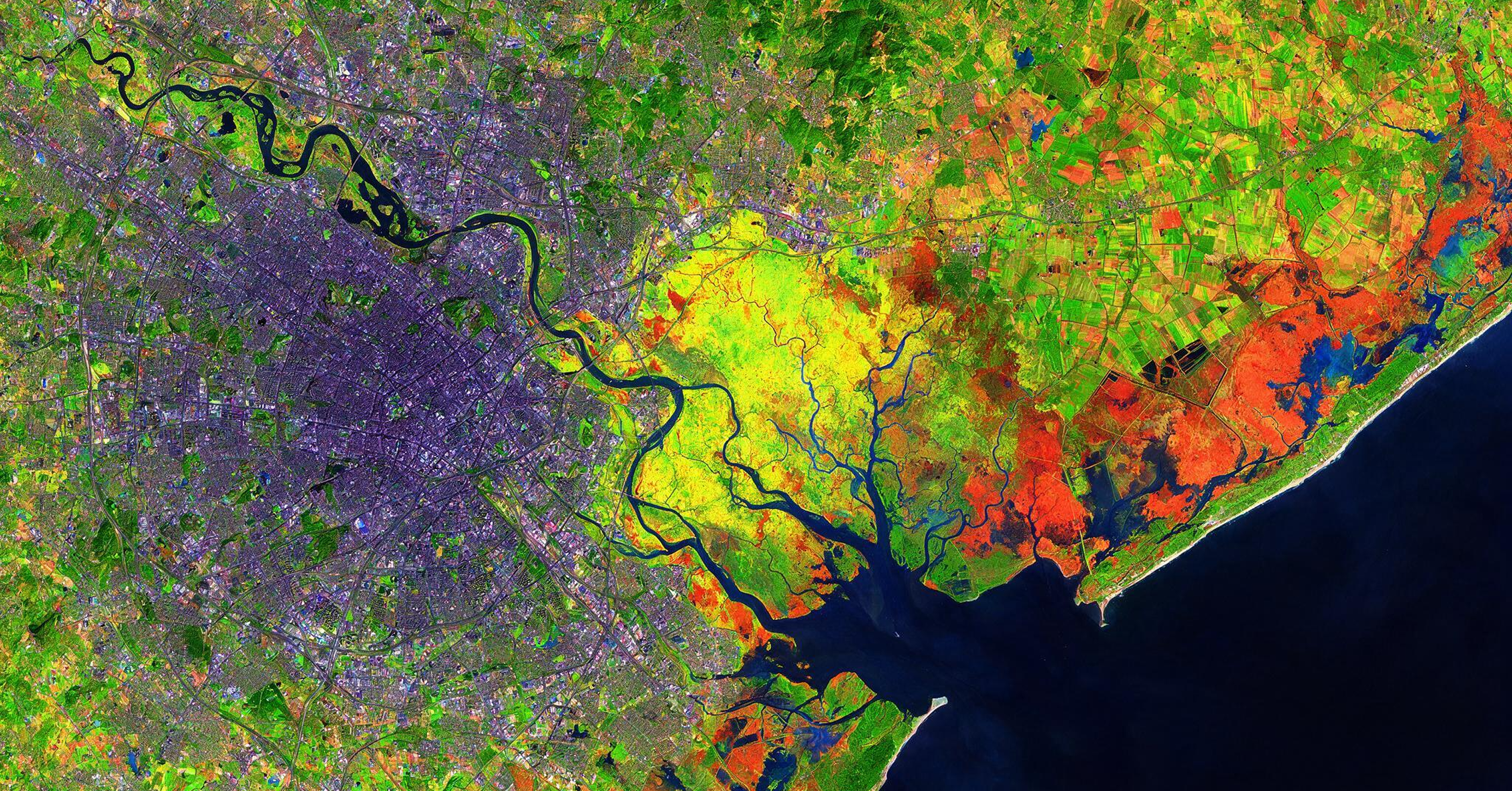
Territorial data only matters when it helps people decide. Satellite imagery, land records, regulations, and field data already exist. The challenge is turning this information into clear answers about where to invest, which risks to take, what to prioritise, and how to track outcomes.
Method
We start with the uncertainty worth reducing: who decides, what is at stake, and what changes after the answer.
Diagnostics and discovery projects test real problems, generate revenue and reveal the patterns worth turning into products.
We turn rules, data and technical processes into clear experiences for people who need to assess, operate and act — without hiding the rigour of the domain.
Proven patterns become workflows, models and software. The goal is to create systems that are clear, repeatable and ready to scale.
Advisory

Land, Environmental & Geospatial Intelligence
Pedro Seibel is a geographer with a PhD from PUC-Rio and a master’s in Territorial Management from Technische Universität München. For 18 years, he has developed territorial intelligence and digital solutions for environmental and land-management challenges, working with GIZ, the World Bank, the IDB, FAO and UNDP. He combines territorial science, geospatial data and AI to turn complex problems into decision-support tools.

Product design, strategy and digital experiences
Gabriel Comym is a product designer with a master’s in Computational Arts from Goldsmiths, University of London. For more than 20 years, he has developed digital products, data platforms and tools for technical audiences. At McKinsey / QuantumBlack, he led the design of Kedro, an open-source framework for reproducible data science used by NASA teams, and developed projects for Apple, Google, Microsoft, HSBC and Santander.
‣ Restoration and carbon
‣ Land tenure risk
‣ Environmental compliance
‣ Territorial monitoring
‣ Data for decision-making
Turn territorial data and complex regulations into faster, safer and more actionable decisions.